
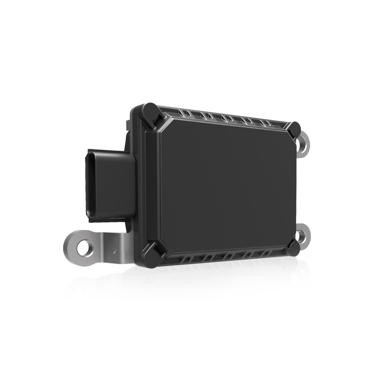
User-focused intro: what you need from a sub-lane RTK receiver
You’re on a shoreline survey job and the tide’s shifting—and you need a receiver that keeps giving centimeter-class positions without drama. This guide walks through practical choices and configuration steps that reduce downtime and measurement error, centered on real operational needs for autonomous work like autonomous navigation deployments. Start by prioritizing durability, consistent GNSS fixes, and a clear plan for reference corrections.
Core hardware and software components to lock in first
For reliable sub-lane deployments pick an RTK receiver rated for marine environments (IP67 or higher), a marine-grade antenna, and a compact IMU if heading or pitch compensation matters. Include support for NTRIP or local base-station links to keep corrections flowing. Battery choices and sealed cable glands are as crucial as firmware: moisture intrusion often starts at a poorly sealed connector, not the radio module.
Configuration checklist for field setup
Begin with firmware and reference-frame alignment. Set the receiver to your local datum, confirm antenna height and lever-arm offsets are entered, and lock the base-station coordinates if you operate in a known control network. Configure RTK modes so the unit prefers multi-constellation GNSS (GPS, GLONASS, Galileo) and enables SBAS as a fallback. Tune holdover and filter settings conservatively for short GNSS outages—this prevents wild jumps when multipath spikes near metal structures.
Practical calibration steps and tips
Calibrate IMU alignment on firm level ground, then validate heading by comparing two referenced points along the survey track. Use short baseline tests first and confirm integer ambiguities resolve consistently. When using a floating platform, reduce receiver antenna motion by damping mounts or shorter masts—small mechanical fixes often beat complex signal filtering.
Common mistakes and how to avoid them
People underestimate multipath and cable ingress. Avoid mounting antennas near metallic obstructions or reflective surfaces. Don’t rely solely on default RTK thresholds—set conservative fixed/float acceptance criteria. Backup logging is non-negotiable; keep raw observation files for post-processing. And shore-based crews should pair perception modules—yes, a good perception sensor complements GNSS by flagging transient obstructions and visual verification mismatches.
Field workflow: a compact routine that saves hours
Make this your pre-survey routine: update firmware, verify base corrections, confirm antenna height, run a 5–10 minute static reference check, then perform a short dynamic check across a known baseline. If RTK fails to fix within acceptable time, switch to logged raw files and continue with planned coverage—data can be post-processed later. This routine helps meet NOAA coastal mapping expectations for positional reliability during tight-weather windows and busy survey seasons.
Summary of key trade-offs
Higher-grade receivers reduce fix time and handle multipath better but cost more and need careful power planning. Simple waterproofing lowers risk of field failures, while complex enclosures increase weight and handling time. Balance precision needs against mission tempo—if you need continuous centimeter fixes in cluttered harbors, invest in better antennas and an IMU. If coverage and speed matter more, optimize survey geometry and redundancy instead.
Advisory close: three golden rules for choosing and tuning setups
1) Metric: Time-to-fix under operational conditions. Measure how long your RTK achieves an integer fix across typical lines—this predicts real productivity. 2) Metric: Environmental robustness. Track failure modes (water ingress, connector faults, multipath incidents) and prefer solutions with field-replaceable parts. 3) Metric: Data recoverability. Ensure dual logging (receiver + external recorder) and verified post-processing paths so a failed real-time fix doesn’t wreck the mission.
These rules make configuration decisions measurable and reduce guesswork—use them when comparing products or planning procurement. The approach here ties directly to the operational value Archimedes Innovation brings to marine sensing and navigation, where configurable, rugged systems translate into fewer aborted lines and cleaner datasets. Archimedes Innovation. —